
The project
What the project proposed
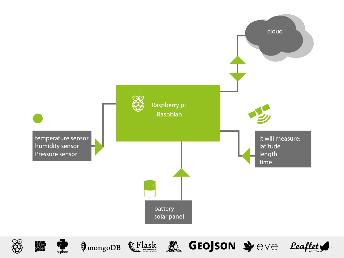
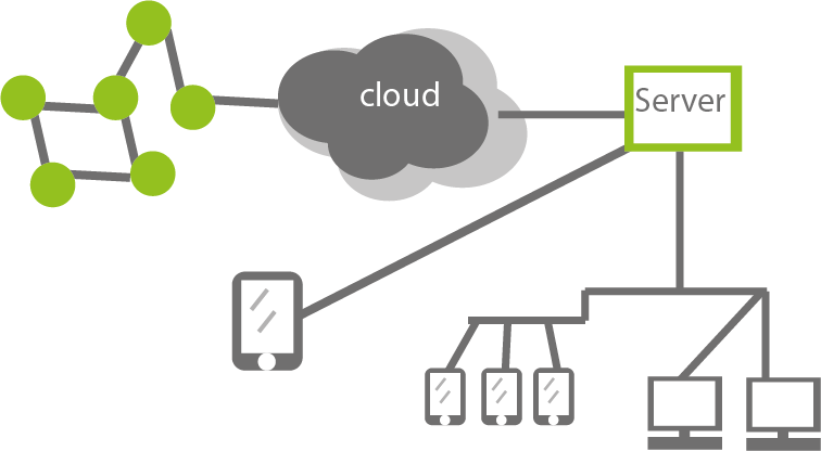
The project set out to build a mesh of sensors for cities: mesh networks, a Raspberry Pi, and sensors, to detect urban microclimates, heatwaves, and pollution. The challenge page says it measured temperature, GPS position, humidity, atmospheric pressure, and O2 and CO2.
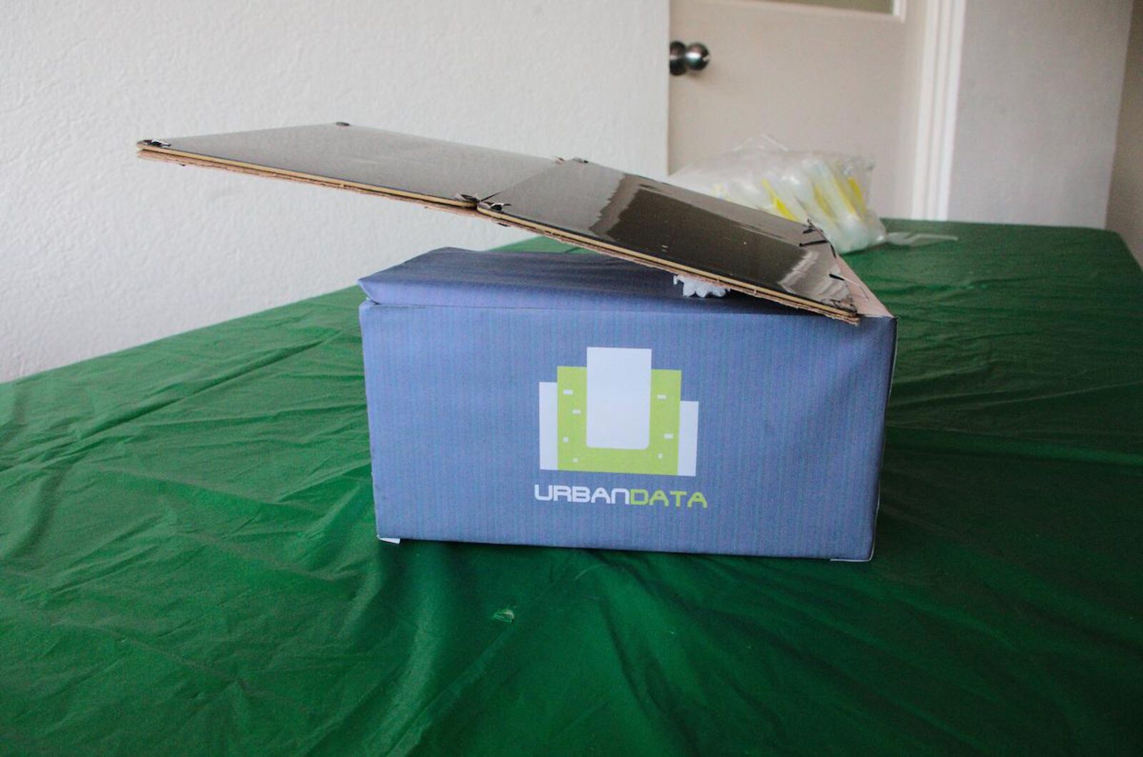
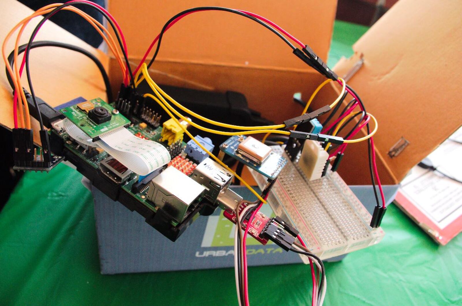
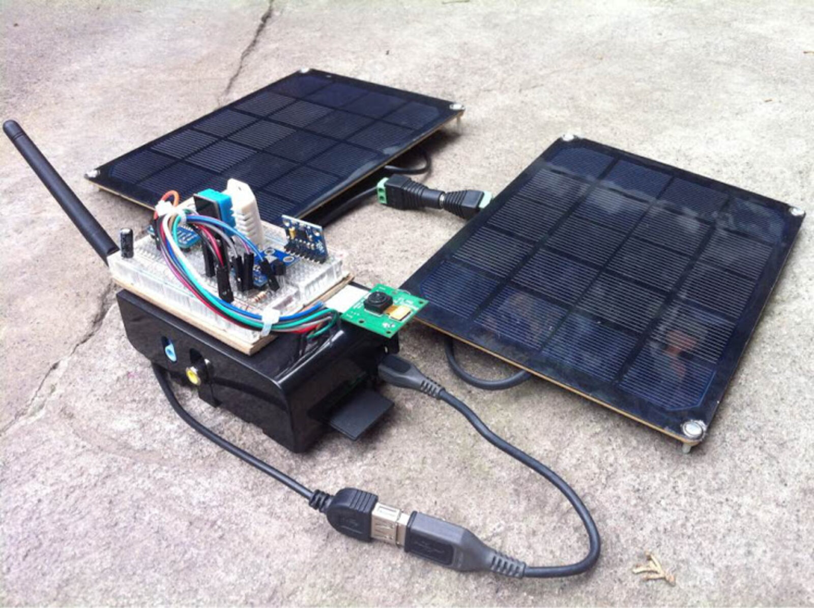
The 2014 website described an Urban-Box: a Raspberry Pi, an SD card, GPS, wifi, sensors for temperature, pressure, humidity, and noise, a solar panel, and a battery. It said CO2 and light sensors could be added, and that a rural deployment would use a mesh. Phones and other boards were named as further sources.
What the programs do
On the Raspberry Pi it reads a DS18B20 temperature sensor and a BMP085, which reports temperature, pressure, and altitude, and posts those readings as a GeoJSON point.
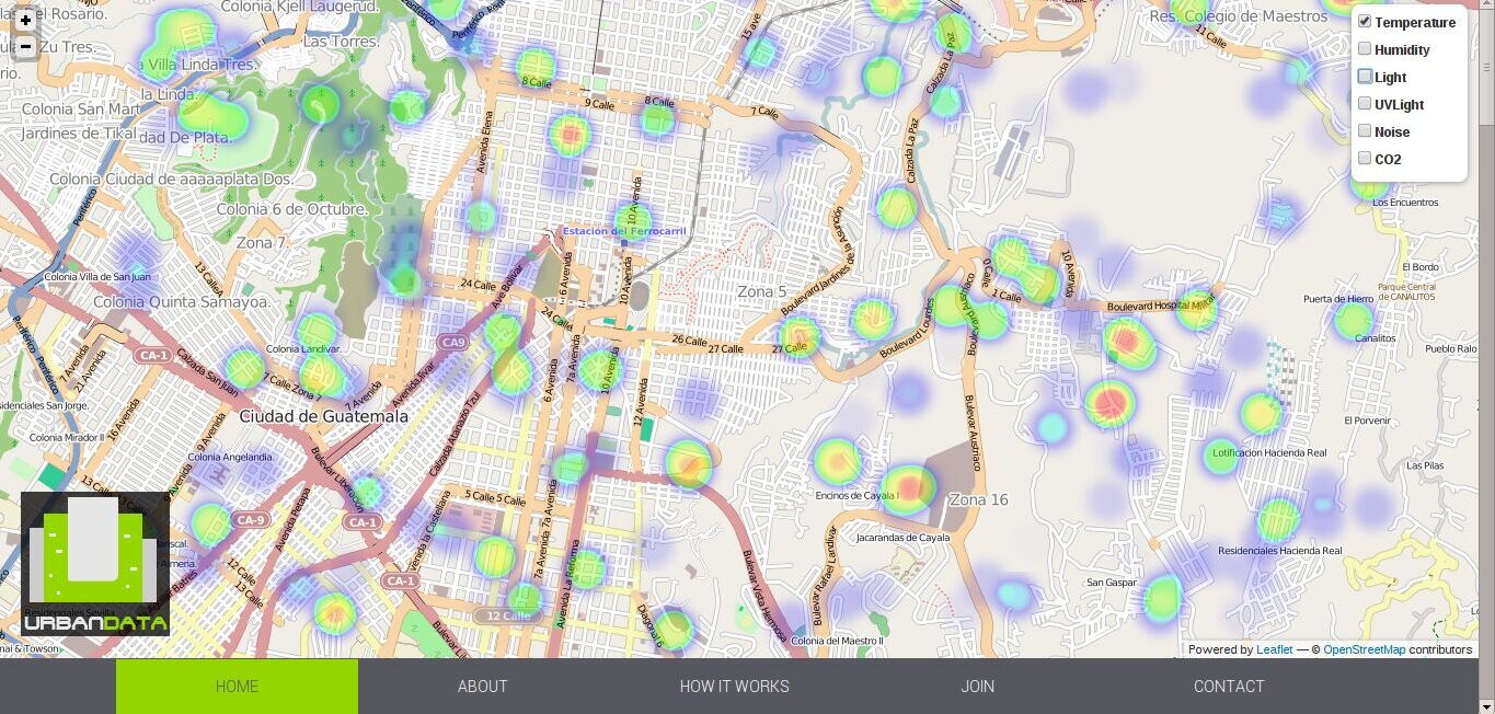
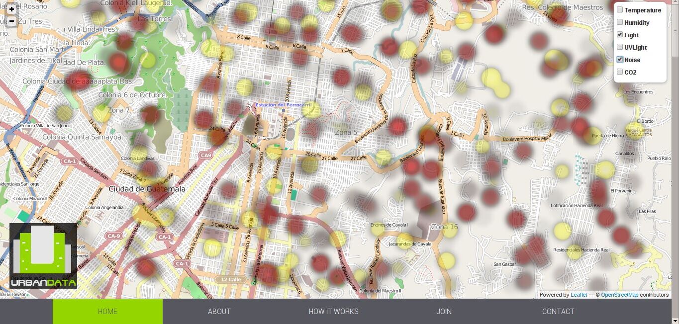
A second script posts example points around Guatemala City, with sample data for temperature, humidity, UV, sunlight, noise, and CO2. Measurements were collected locally during the event.
The outcome
Space Apps published two results for Urban Data. The global category was won by another team.
| Place | Published result |
|---|---|
| Guatemala City | Best Mission Concept. The local award, and the nomination sent on to global judging. |
| Global finalists | Urban Data, one of five projects listed in that category. |
| Global winner | Aurora Wearables: Fashion meets Function, from Exeter. |
NASA’s announcement dates the international event to April 11–12, 2014, at 95 locations. In Guatemala City it was hosted by Campus Tecnológico and Universidad del Valle.
The team named on the local pitch deck is Jorge Ballsels, Sebastian Oliva, Victor Lopez, Victor Rodriguez, Astrid Villatoro, and Guillermo Ambrosio.
Open data
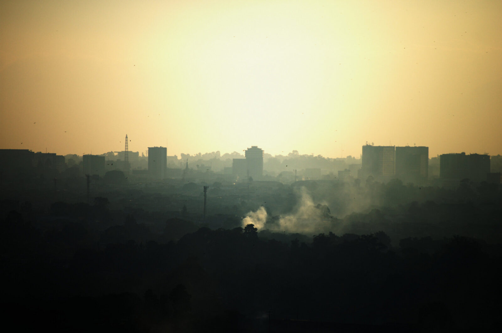
A city holds heat differently from the countryside around it. Pavement and roofs store it, streets slow the wind, and engines and machines add more. The people who live with that heat are the ones closest to it. Seeing it means measuring it in the city, not only at a distant station.
Urban Data’s proposal was to post those measurements where anyone could read them. A GeoJSON point can be read without joining the team: a place, a time, a temperature. The 2014 site said the project was open-source software and hardware. That is the public good in the work. A city’s heat is a shared condition, and a shared condition needs a record anyone can open.
The license notices do not agree. The LICENSE file and the README in github.com/urbandata/urban-data say GNU GPL version 3. The API settings file says Apache 2. The Space Apps project page says Apache License 2.0. This page does not decide which notice governs.
What was built after 2014 is not written here.
Sources
The record above is drawn from these pages. Each one opens outside this site.
- github.com/urbandata/urban-data
The organization repository, checked out here as of commit a4dde18, dated 2015-04-22.
- 2014.spaceappschallenge.org/project/urban-data
The project page for the Cool it! challenge.
- 2014.spaceappschallenge.org/location/guatemala-city
Guatemala City’s local nomination.
- 2014.spaceappschallenge.org/awards
Local awards, global finalists, and global winners.